

WEATHER STATEMENT for SAINT VINCENT and the GRENADINES (SVG)
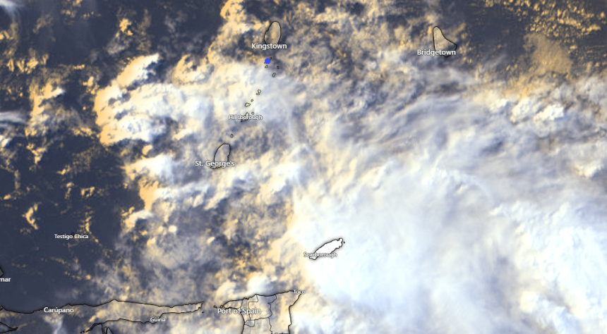
A moisture-surge associated with an approaching tropical wave could bring increasing cloudy skies, periods of rain, moderate-heavy showers and thunderstorm activity as well as strong/gusty winds across St. Vincent and the Grenadines (SVG) by this evening and tonight.
Sea conditions are expected to become moderate to rough in open water, with swells ranging 1.8m to 3.0m during Sunday night.
Over the next 24hours, rainfall accumulations across SVG could range 50 – 75mm (2 -3 inches), with isolated higher amounts leading to flash-flooding and land slippage…A Flash-Flood Watch may become necessary for SVG.
Residents and motorists in areas prone to flash-flooding and landslides or near rivers and streams should be prepared. Small-craft operators should be prepared for above normal swells and gusty winds, by this evening and tonight…Sea-bathers should exercise extreme caution.
Showers and thunderstorm activity are expected to decrease during Monday.
The St. Vincent and the Grenadines Meteorological Services will continue to monitor the Tropical Atlantic Ocean & Caribbean Sea and issue updates/advisories as necessary.