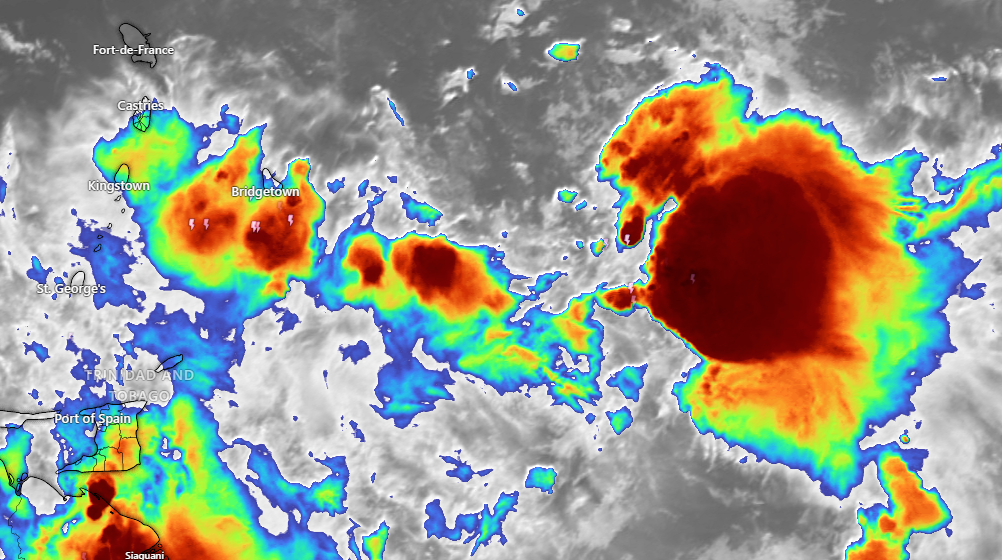
NHC meteorologists are closely tracking Invest 98L, a potent tropical wave that could bring significant weather challenges to St Vincent and the other Windward Islands this weekend.
The National Hurricane Center has placed Invest 98L under careful surveillance, with the tropical wave currently stretching from 04N to 18N near 51W longitude. Moving westward at an impressive 15-20 knots, the system is showing signs of potential development.
Advanced satellite technology has provided crucial insights into the system’s structure. While a fully closed circulation has not yet formed, scatterometer and altimeter data reveal strong winds, approaching near-gale force, are concentrated along a sharp surface trough, particularly between 12N and 15N latitudes.
Meteorological models suggest the system will cross the Windward Islands by early next week, bringing heavy rainfall and gusty winds. Residents are advised to prepare for potentially challenging weather conditions on Sunday and Sunday night.
While the system has not yet been classified as a tropical depression or storm, its potential for rapid intensification remains a critical concern for weather forecasters.
Expected Development Stages
• Initial Stage: Marginally conducive development conditions
• Mid-Week Projection: Potential for increased development in the central Caribbean Sea
• Key Concern: Heavy rainfall and strong winds in the Windward Islands


