
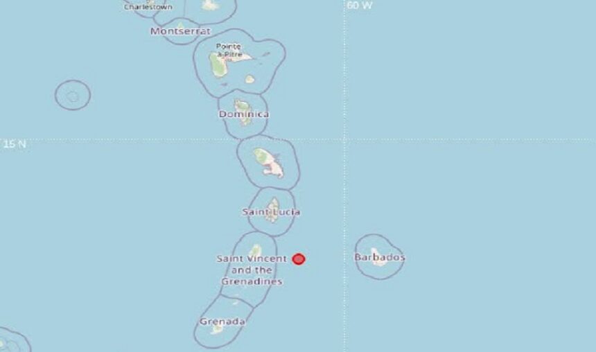
A minor earthquake was detected in the waters east of Saint Vincent in the early hours of Thursday, August 6, 2026.
According to data from the University of the West Indies Seismic Research Centre (UWI, SRC), the tremor occurred at 12:32 AM local time (04:32 UTC). The earthquake registered a magnitude of 3.5 and was located at a shallow depth of 10 km.
The epicenter was recorded at coordinates 13.16N and 60.62W. This location places the seismic activity approximately:
- 67 km east of Kingstown, Saint Vincent and the Grenadines.
- 104 km southeast of Castries, Saint Lucia.
- 112 km west of Bridgetown, Barbados.
No immediate reports of damage or personal injury have been issued following the event. The UWI, SRC provides these details through its automatic earthquake location system as part of ongoing regional monitoring.