
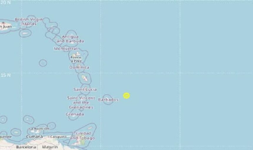
A magnitude 3.9 earthquake occurred early on the morning of Sunday, November 1, 2026, according to official manual location data from the University of the West Indies Seismic Research Centre (UWI, SRC).
The seismic event was recorded at 00:12 local time (04:12 UTC) at a depth of 157 kilometers beneath the surface. The epicenter was officially positioned at latitude 13.47°N and longitude 58.40°W.
Proximity to Regional Centers
The earthquake was centered offshore in the southeastern Caribbean, with the following distances and directions reported from major regional capitals to the epicenter:
- Bridgetown, Barbados: 140 km east-northeast (ENE)
- Castries, Saint Lucia: 293 km east-southeast (ESE)
- Kingstown, Saint Vincent and the Grenadines: 316 km east (E)
The UWI Seismic Research Centre regularly issues verified manual locations following seismic events across the Eastern Caribbean to monitor ongoing regional tectonic activity.