Occasionally, lower-level clouds converging across the islands could interrupt relatively dry/stable conditions to bring a few showers across St. Vincent and the Grenadines (SVG). Varying concentrations of Saharan dust could maintain a film of haze across our area at times.
Over the next few days, light-gentle (5 – 15km/h) day-time breeze could temporarily increase (20 – 30km/h) during night-times/early mornings. Wind directions could range from north northeast to east southeast in some locations.
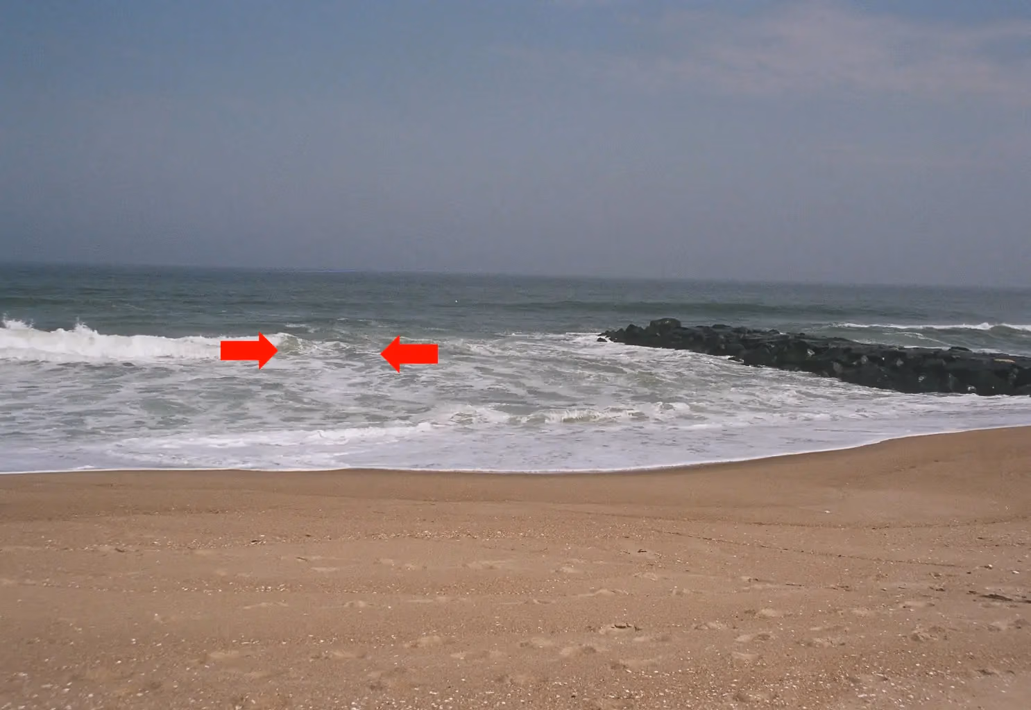
Sea conditions are currently slight in open water, with occasional northerly swells near 0.5m west of our islands and near 1.2m east of our islands. Swell heights are expected to rise during Saturday and northerly long-period waves are likely to reach our shores by afternoon, creating dangerous breaking wave action and rip currents.
Swell heights could range 1.5m to 2.0m across SVG during Saturday night/Sunday morning...Small-craft operators and sea-bathers should exercise caution. Sea conditions could become slight to moderate during Monday.