

The Meteorological Services of the Government of St. Vincent and the Grenadines has officially upgraded the nation’s weather alert from a Yellow-level Advisory to an Orange-level Flash-Flood Watch. The watch was issued at 6:00 pm on Saturday, June 20, 2026, by forecaster Mr. Gregory Cato, and will remain in effect until 12:00 PM on Sunday, June 21, 2026.
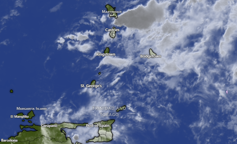
The heightened alert is the result of an active tropical wave currently bringing occasional cloudy skies, showers, and thunderstorms to the Eastern Caribbean, including St. Vincent and the Grenadines. According to the Meteorological Services, weather conditions are projected to deteriorate throughout Saturday night as the upper-level atmospheric environment becomes more supportive of severe weather. Showers and thunderstorms are expected to become increasingly frequent and intense overnight and continuing into Sunday.
Current meteorological models forecast additional rainfall accumulations of 50 to 75 millimeters (approximately 2 to 3 inches). Officials warn that even higher amounts of rainfall are possible in the mountainous regions of the islands.
Because the ground across the islands remains heavily saturated from recent rainfall events, authorities warn that there is a high possibility of flooding and landslides occurring during this watch period. Residents and motorists are strongly urged to exercise extreme caution, particularly those living in areas historically prone to flash-flooding and landslides, or those situated near rivers and streams.
A Flash-Flood Watch indicates that current weather conditions are highly favorable and there exists a distinct possibility of flooding within the watch area. The Meteorological Services will continue to monitor the situation closely, noting that the watch may be further upgraded to a Flash-Flood Warning if conditions escalate, or discontinued if the weather significantly improves before Sunday afternoon.