
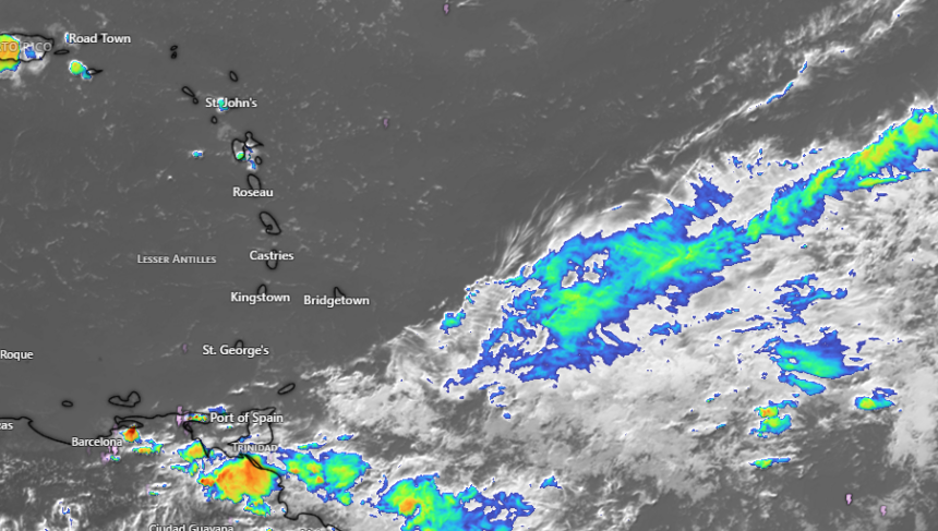
Good visibility is expected to continue across the region over the next few days, despite incoming weather systems moving through the area.
Forecasts indicate that low-level troughs will cross the islands during the week. Associated moisture is anticipated to spread occasional cloudiness, scattered showers, and thunderstorm activity across St. Vincent and the Grenadines (SVG) starting this Monday evening.

Due to the incoming moisture and precipitation, residents and motorists in high-risk zones are advised to stay alert. Specifically, individuals located in areas prone to flash-flooding and landslides, as well as those near rivers and streams, should maintain vigilance.
Wind conditions across SVG are forecast to remain gentle to moderate, blowing at speeds between 15 km/h and 25 km/h. Wind direction may vary between east-northeast and southeast depending on the location.