
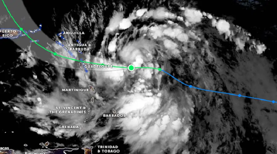
Moisture levels are elevated across St. Vincent and the Grenadines (SVG), associated with Tropical Storm (TS) Ernesto located near 16.0 N 57.5W at 5pm today.
Bands of moisture feeding into TS Ernesto could cross our islands during Tuesday, supporting moderate-heavy showers with thunderstorm activity and fresh-occasional strong/high winds (30 – 50km/h) from the south…Be Alert!
Further rainfall accumulations of 75 – 100 mm (approximately 3 – 4 inches) with higher amounts across parts of SVG are possible within the next 24 hours.
Therefore, A Flash-Flood Watch is being issued for St. Vincent and the Grenadines from 6:00pm Monday 12th August 2024 until 6:00pm Tuesday 13th August 2024…Residents and motorists in areas prone to flooding and landslides or near rivers and streams should be prepared.
A Flood-Watch is issued when conditions are favourable and there exists the possibility of flooding during the watch period.
This flash-flood watch may be upgraded to a warning if conditions warrant.