

Over the next few days, cloud patches could interrupt fair skies to bring occasional showers with isolated thunderstorms across St. Vincent and the Grenadines (SVG). Slight-haze may be noticeable across our area this afternoon, gradually thinning during Friday.
Meanwhile, the St. Vincent and the Grenadines Meteorological Services (SVG MET Services) will continue to monitor Tropical Depression Storm Gabrielle, as well as an area of disorganized showers and thunderstorms (20% chance of development) in the Tropical Atlantic Ocean and issue updates/advisories as necessary.

Gentle-moderate (15 – 25km/h) breeze could vary in direction between east northeast and southeast in some locations. By Friday, wind speeds could reduce to light (less than 10km/h) and variable, creating uncomfortable conditions across our islands…Be aware!
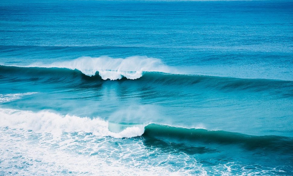
Sea conditions are slight in open water, with swells near 0.5m(1.5ft) west of our islands and 1.2m(4ft) east of our islands. A gradual rise {1.5m(5ft)} in swell heights may be noticeable on eastern coasts by Thursday evening.
