
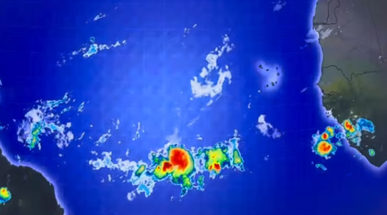
The St. Vincent and the Grenadines Meteorological Services has issued a comprehensive 72-hour outlook warning residents of a dual threat: incoming tropical waves and a significant surge of Saharan dust-haze.
A series of tropical waves are currently moving across the region, bringing cloudy skies, gusty winds, and moderate-to-heavy showers and thunderstorms. These conditions are expected to persist through early Thursday and are forecast to return with intensity by late Friday into Saturday.
Meteorological Forecaster Joan Mc Donald has advised residents and motorists in areas prone to flash-flooding and landslides, as well as those living near rivers and streams, to exercise extreme caution. On Saturday, July 11, specifically, weather advisories remain in place for scattered showers and thunderstorms that could trigger further flash-flooding events.
While Saharan dust concentrations briefly thinned out, they are expected to thicken again by Thursday night. The Meteorological Services warned that this will result in limited visibility and unhealthy air quality for sensitive persons.
By Friday, July 10, the outlook predicts a transition to fair-to-partly cloudy skies, but with a persistent slight-to-moderate haze. Residents are urged to take necessary health precautions as the air quality is expected to remain poor during this period.