
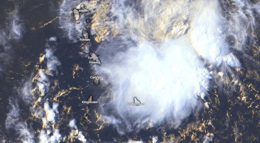
U.S. Air Force reconnaissance aircraft have been tracking the disturbance, revealing critical details about its current characteristics and potential trajectory.
Key Observations:
- No closed low-level circulation currently detected
- Extensive area of intense showers and thunderstorms
- Wind speeds approaching gale force conditions
The system is expected to significantly affect the Windward and Leeward Islands tonight and Monday, with residents advised to prepare for potentially challenging weather conditions.
Meteorologists predict the system will migrate towards the central Caribbean Sea by Tuesday, where environmental conditions are anticipated to become less conducive for further development.
