
Moisture levels are expected to increase as a trough system approaches the islands, bringing cloudiness, showers and thunderstorms across St.…
Over the next few days, weak unstable conditions are likely to cross the islands, bringing occasional cloudiness with a few…
Over the next couple days, fair/clear skies across St. Vincent and the Grenadines (SVG) could be interrupted with cloud patches…
Partly cloudy skies and a few showers linger across St. Vincent and the Grenadines (SVG) this afternoon. Reduction in cloudiness…
A tropical wave with a 50% chance of cyclone formation will begin to affect St. Vincent & the Grenadines today.…
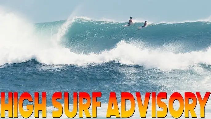
A small craft and High Surf Advisory is in effect from 6:00 am 19th October, 2025 Deterioration in sea-conditions is…
NHC meteorologists are closely tracking Invest 98L, a potent tropical wave that could bring significant weather challenges to St Vincent…
Weather Information Statement No. 1 for St. Vincent The St. Vincent and the Grenadines Meteorological Services continues to monitor the…
A ridge pattern will rebuild across the islands within the next 24 hours allowing for fair to occasionally cloudy conditions…
Occasional cloudy skies, pockets of showers and possible isolated thunderstorms are likely within the next 24 hours as instability lingers across our island chain. In addition, Tropical Strom Lorenzo has formed in the mid-Atlantic and…
Cloud-cover and shower/thunderstorm activity are decreasing across our islands and stable conditions are expected during Sunday. By Monday, shower activity could increase across St. Vincent and the…
Moisture level across our SVG has increased within the past 24 hours and has contributed to unstable conditions. This will facilitate occasional pockets of moderate showers with possible thunderstorms across Tuesday after afternoon with…