Home
Top Headlines
National
Caribbean
Editorials
Opinion
Abdul Rafay Afzal
Classifieds
Crime
Diaspora Dynamics
Press Release
Plain Talk
Weather Update
Venezuela Weekly Report
World News
Yacht Crimes St Vincent
Taiwan Corner
Contact Us
Afreximbank Meetings Bahamas 2024
EU-CELAC Summit
CCF INVESTIGATION
La Soufriere Update
Mirpuri Foundation
Religion News
Tourism
Vincy Artiste
Terms Of Use
About Us
Privacy Policy
Search
Search
Home
Top Headlines
National
Caribbean
Editorials
Opinion
Abdul Rafay Afzal
Classifieds
Crime
Diaspora Dynamics
Press Release
Plain Talk
Weather Update
Venezuela Weekly Report
World News
Yacht Crimes St Vincent
Taiwan Corner
Contact Us
Afreximbank Meetings Bahamas 2024
EU-CELAC Summit
CCF INVESTIGATION
La Soufriere Update
Mirpuri Foundation
Religion News
Tourism
Vincy Artiste
Terms Of Use
Weather Update
Weather to deteriorate across SVG in 24 hours
5 Jun 2025 | 6:34 PM | AST
Tropical wave to bring showers, thunderstorms to SVG
4 Jun 2025 | 5:03 PM | AST
Trade winds shift, moderate showers expected
3 Jun 2025 | 12:38 PM | AST
NWS predict a busy hurricane season for 2025
2 Jun 2025 | 8:04 AM | AST
2025 Atlantic hurricane season kicks off: what you need to know
1 Jun 2025 | 10:07 AM | AST
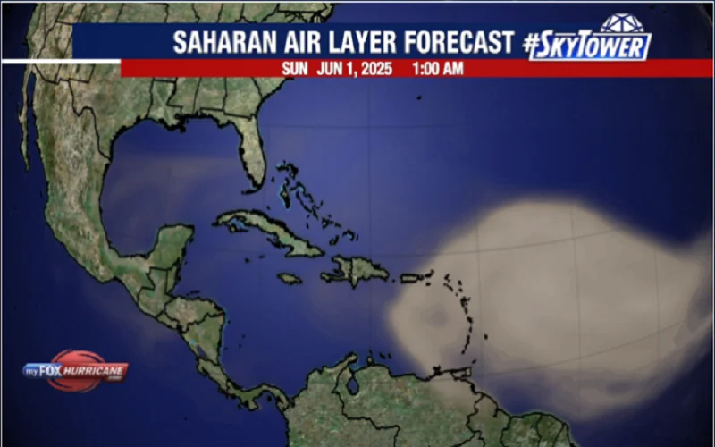
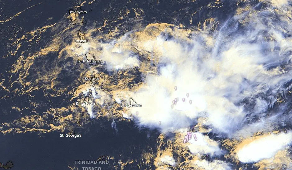
Saharan dust haze affecting SVG, other islands
31 May 2025 | 7:48 PM | AST
Tropical wave to bring isolated thunderstorms
29 May 2025 | 12:17 PM | AST
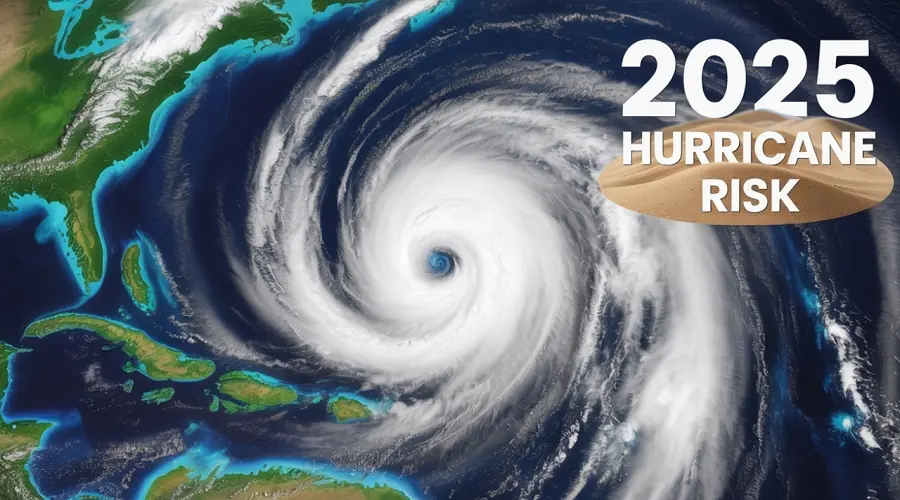
NOAA warns of “Above Average” Hurricane Season 2025
22 May 2025 | 2:50 PM | AST
Heavy Rain, thunderstorms expected this weekend
15 May 2025 | 9:33 AM | AST
Rainy Night Ahead: Flash Flood Watch For SVG
12 May 2025 | 6:41 PM | AST
Scattered rain, thunderstorms expected across SVG
12 May 2025 | 1:15 PM | AST
Showers, thunderstorms forecast for SVG
11 May 2025 | 1:08 PM | AST
Show More
- Advertisement -
Stay Connected
89k
Followers
Like
3k
Followers
Follow
2.5k
Followers
Follow
25k
Subscribers
Subscribe
Welcome Back!
Sign in to your account
Username or Email Address
Password
Remember me
Lost your password?